- Home
- About Us
- Research
- Research Areas
- Agriculture
- Air Pollution
- Climate Change
- Economy
- Education
- Environmental Law & Justice
- Energy & Electricity
- Federalism
- Governance, Accountability & Public Finance
- Health & Nutrition
- Indian Politics
- International Relations & Security
- Jobs
- Land Rights
- Sanitation
- Social Justice
- State Capacity
- Technology
- Urbanisation
- Water
- Miscellaneous
- Research Initiatives
- Research Areas
- Publications
- People
- Events
Highlight>
Understanding the Impacts of Land Use Change
July 18, 2018
BLOG SERIES BASED ON A CROSS COUNTRY STUDY ACROSS INDIA, INDONESIA AND MYANMAR
LAND ACQUISITION SOUTH ASIA
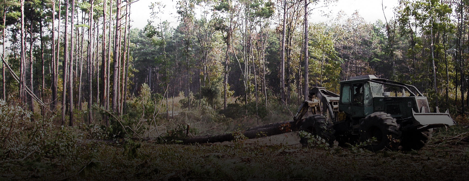
Land use change is defined as planned, government policy induced land transformations with anticipated or unanticipated environmental and social impacts, most often undertaken without prior informed consent of and/or due compensations for the affected, and abetted by failure of administrative or judicial remedies. The CPR-Namati Environmental Justice Program, supported by a grant from the International Development Research Centre (IDRC), Canada, studied land use change in India, Indonesia and Myanmar, and found that the impacts of such land use change can be broadly categorised into three categories:
Displacement and dispossession: Individuals or communities lose their homes in exchange for none or meagre compensations, and are expected to relocate to areas identified as rehabilitation sites or migrate to new areas on their own.
Loss of livelihood: This relates to losing out or giving up access to parts of or entire areas on which livelihoods are dependent. This could include agricultural lands, fishing harbours, forest areas and grazing lands. This may occur separately or in addition to physical displacement, causing an incalculable impact on both livelihoods and quality of life.
Environmental degradation and pollution: This leads to a decline in fish catch, agricultural productivity, groundwater contamination, and other related impacts. These have lasting effects on the health, economy and social lives of individuals and communities as a whole.
The table below provides trends and examples of how different sectors have contributed to negative impacts for communities in India, Indonesia and Myanmar.
India
Indonesia
Myanmar
Displacement and Dispossession
A study by the Indian Institute of Technology, Rourkee, estimates that 50 million people have been displaced due to ‘development projects’ over 50 years in India. The study states that of the 50 million people, 16.4 million were displaced by dams, 2.55 million by mines, 1.25 million by industrial development and 0.6 million by wildlife sanctuaries and national parks
One of the largest dam-induced displacement projects in the recent decades has been the Polavaram Multipurpose irrigation project that involved submergence of 42,000 ha of land across the 3 states of Andhra Pradesh, Chhattisgarh and Odisha. The estimated number of people facing displacement is 1,17,034 across 276 villages (as per the 2001 Census). All the displacement is in the state of Andhra Pradesh.
From 1970 to 2008, there have been approximately 100,000 people who have been displaced by the creation of Protected Areas (PAs).
Around 40% of the project-affected and displaced people from 1951 to 1980 belonged to tribal communities.
Freeport McMoran’s investment in copper and gold mining in West Papua was the first FDI agreement that Suharto signed after becoming the president. It displaced 15,000 people.
The number of landless farmers has risen from a few to 30% from 2004 to 2009 in Sumatra.
The Jabotabek Urban Development project in the suburbs around Jakarta displaced 40,000 to 50,000 people.
An impending 480-megawatt hydroelectric dam in Seko in North Luwu district of South Sulawesi is looking to displace members of indigenous communities of Pohoneang, Hoyyane and Amballong.
Conservation areas cover 28.2 million hectares in Indonesia and have largely been about exclusion of communities.
Recently, in Labuan Bajo Komodo Conservation area there have been reports of sale and purchase of indigenous people’s lands without their consent.
‘Land grab’ is a widely acknowledged term to refer to the state-driven forced acquisition of land.
The Letpadaung copper project in Sagaing Region involved the acquisition of 6,785 acres of land, largely farmlands, from 30 villages. 245 families from 4 villages have been forcibly moved to resettlement sites. 196 families are refusing to move at the risk of forced eviction.
The Asia Highway, a large-scale project, has a section of it passing through Southeastern Myanmar, crossing 17 villages and 3 townships in Dooplaya and Hpa-an districts. The project was initiated without consulting the locals and has caused eviction from several of these villages.
The construction of Thilawa Special Economic Zone is a prime example of this. The military government started confiscating land from the local farmers in 1997, using the land laws prevalent then, offering very little or no compensation.
Loss of livelihood
The land acquisition law of 2013 in India has added a specific section on assessing livelihood loss through social impact assessments and ascertaining compensations for the same. It clearly laid down the definition of ‘Affected Families’ to include farm labourers, fishers, share croppers, forest rights holders, gatherers of forest produce and so on.
The Parsa East Kete Besan coal mine in Chhattisgarh involves land use change of 2,711.034 ha. The mine is located in the Hasdeo Arand region, which is home to a large population of tribal and other traditional forest dwellers.
In another case, the operations of the Coastal Gujarat Power Limited in Kutch in Gujarat, have impacted two important fishing harbours. This was marked by a reduction in fish catch, impacts of coal ash on fish drying activities, particularly carried out by women, and constrained access to the fishing harbour.
The state in Indonesia considers large tracts of land as ‘non-productive’ and gives them out to oil palm companies despite the fact that these lands have claimants under the customary law and many smallholders cultivate them.
In the case of PT KEM, the gold mine impacted alluvial mining being pursued by local people in East Kalimantan. The loss of livelihood could never be recovered as all those who lost their livelihood could not be absorbed as part of the workforce in the mine.
Fish population in Buyat Bay in North Sulawesi has declined due to PT Newmont Minhasa Raya’s submarine tailing disposal.
Recently fishermen in parts of Komodo conservation reserve have been denied access to their fishing grounds, which forces them to fish farther resulting in higher costs. Access to the forest part of the Komodo conservation area is also blocked for communities to collect firewood.
Farmers made landless, find it hard to secure jobs; the random jobs they pick up are unstable and pay very little.
The construction of Mone Hydropower Dam led to submergence of 13 villages. The government authorities deemed that they were not responsible for compensation or relocation allowance to the villagers because the displacement was not caused by land confiscation but by the flood.
30 villagers from Char Khan fishing village were asked to vacate the area for the first phase of Dawei SEZ – when 3 fishers refused to move, they were imprisoned for a month.
The Labutta Township Forestry Department sued 12 local farmers for illegally fishing, breeding prawns, and felling wood in a forest reserve.
Government-licensed mining has impacted small-scale jade collection. Now, some of them make a living by picking pieces of jade in the waste dumped by mining companies.
Environmental Degradation and Pollution
Around 49 areas have been declared unsafe for human habitation in the Raniganj coalfield area of West Bengal.
The Damodar River is the major source of water in the regions of West Bengal and Jharkhand and is perhaps the most polluted river in India as it receives wastes from many industries situated on its banks.
Studies have indicated that open cast quarries, coal washeries, thermal power plants, coke-oven plants, cement factories and fertiliser plants add to air pollution.
The construction of large dams and ports alters the relationship of water and land, destroying the existing ecosystem balance, hydrology and fisheries.
Air and water pollution and soil erosion are the two main issues that occur when large areas on landscapes get changed for the construction of roads and railway lines.
Freeport’s Grasberg in Papua gold mine spread across 2.5 million hectares of pristine alpine forests, lowland montane forests, freshwater swamps, mangroves and coastal ecosystems, dumps an extraordinarily large amount of waste (as per its own estimates 700,000 tons per day) into local streams.
Lake Limboto is situated right next to Gorontalo city and the land conversions for this ever-expanding city have taken a toll on it. In 1932, the lake used to span over 70 square kilometres but today it measures only 25 square kilometres in area.
In North Borneo, fisher interests and shipping uses are in conflict. The coastal law doesn’t give any priority to fisher people. It doesn’t recognise fishers’ first right to the sea and categorises areas for fisheries as well as activities such as tourism and mining under the same ‘general use area’ category. This creates a conflict between the coastal law and fisheries law.
The Tigyit Coal Mine spews dangerous chemicals and pollutes the water and air. The operations compromise access of communities to their fishing areas, farms, and forests. Waste from the mine is dumped either on the grazing lands or on the path to the grazing areas.
People living close to industrial projects, who most often are the ones initially displaced for initiation of these projects, find themselves facing pollution impacts on a daily basis. Toxic and harmful wastes are discharged in local water sources and garbage is dumped on their farms and grazing lands. Air pollution and decline in groundwater are other challenges they are forced to live with.
Lakes in industrial zones have been reported with high level of contaminants. Wastewater from the industries of Shwe Pyi Thar Industrial Zone is released indiscriminately into nearby water sources.
Often, these impacts do not occur in isolation – loss of land essentially leads to loss of livelihoods; many times relocations after land-loss force people to stay close to industrial and development areas facing pollution on a daily basis; and environmental degradation translates into loss of income for communities dependent on natural resources. The study, Understanding Land Conversion, Social Impacts and Legal Remedies in Asia, is an attempt to bring out the interconnections, complex nature and severity of these impacts by highlighting these and several other trends and examples of land use change through the detailed country reports and granular case studies.
This is the first blog based on the study carried out by the CPR-Namati Environmental Justice Program, and supported by a grant from IDRC, Canada.
The other pieces in the series can be accessed below:
Understanding the Strategies used to address the impacts of Land Use Change
Understanding the Outcomes and Remedies sought for impacts of Land Use Change
Detailed Studies of cases of Land Use Change Conflicts: Part I
Detailed Studies of cases of Land Use Change Conflicts: Part II